Hills & treks · Tumakuru district, Karnataka
Devarayanadurga (DD Hills)
A relaxed hill outing with two hilltop temples, forested slopes and a spring site at the lower slopes.
A two-wheeler guide from Bangalore (Bengaluru). Distance is approximate from central Bengaluru.
Find the place
Open the destination pin in Google Maps. On mobile, select Two-wheeler directions where available, then check the route against local signs.
Open Google Maps ↗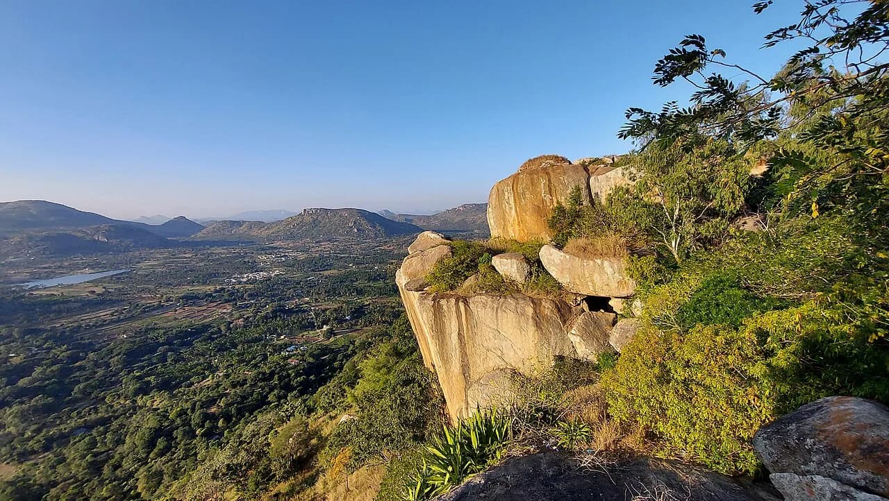
Ride plan
How to get there
Follow Tumakuru Road (NH 48) to Tumakuru, then use the signed local road to Devarayanadurga and Namada Chilume.
Ride time is an estimate from central Bengaluru. Check live traffic, road closures, fuel stops and two-wheeler restrictions before departure.
Entry, permits & hours
No forest permission listed for the tourism trail
Karnataka Tourism says forest permission is not required for the described trail. Temple darshan hours and any temporary access restrictions are separate; check locally before riding.
Open official access information ↗Research checked October 2026. Government pages and on-site directions take precedence; confirm same-day closures and permit slots before travelling.
Season & timing
When to go
October–March for cooler weather; sunrise or late afternoon is most pleasant.
Why make the ride
What to see and do
- Bhoga Narasimha and Yoga Narasimha temples
- Short viewpoint hike
- Namada Chilume nearby
Before you leave
What to carry
- Water and walking shoes
- Sun protection
- Modest clothing for temple visits
Stay safe and leave no trace
A few things to know
- Keep to marked paths and temple visitor areas.
- Avoid exposed rocky paths during rain.
Official references